Imaging products and services
Satellite imaging products
Sale of Satellite imaging products
It is not easy to purchase the best data since satellite characteristics, such as resolution and observation frequency, as well as data provision methods vary by satellite. RESTEC can introduce customers to satellite data that best suits their purposes and offer proposals on how to utilize the data.
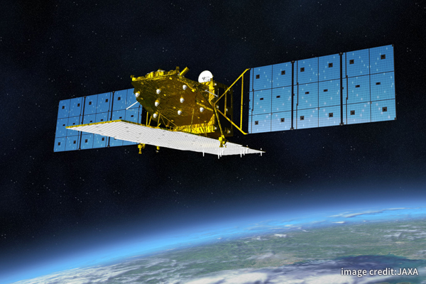
Optical Satellite Images
-
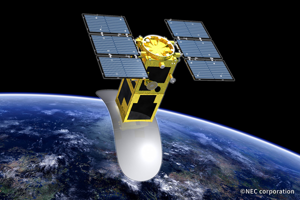
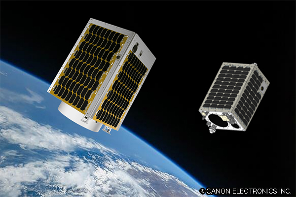 CE-SAT SeriesSatellite imagery from two satellites, “CE-SAT-I” and “CE-SAT-II-B,” by Canon Electronics Inc.
The ultra-high sensitivity camera installed on CE-SAT-II-B captures night sceneries in 5.1-meter RGB resolution. -
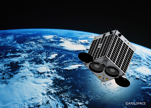 GRUSA constellation of micro-satellites with 2.5m resolution GSD and a wide observation range of 55 km or more.
 -
-
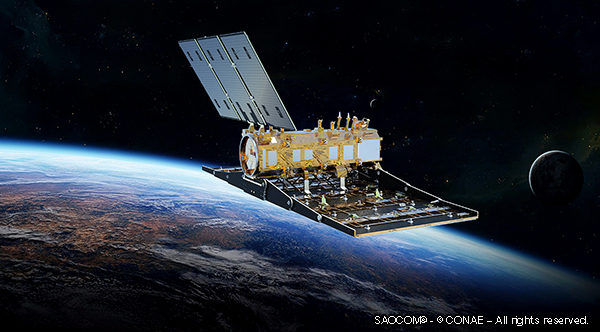
SAR Satellite Images
Other Product
-
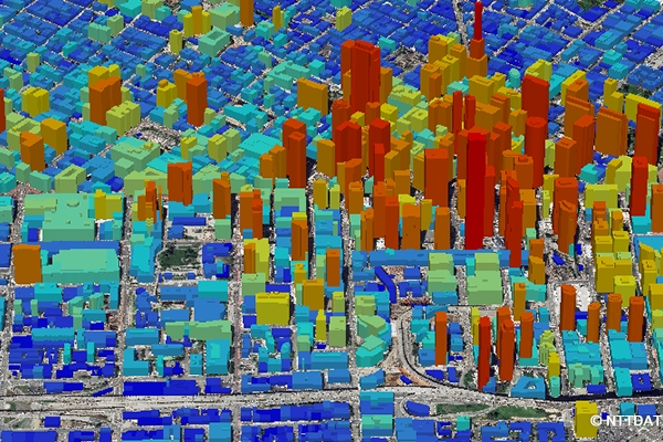 AW3DThe AW3D Full Global 3D Map is 3D data that simulates the terrain, ground undulations, and the heights of trees and buildings on the Earth's surface all over the globe. The Earth as it exists in actual physical space is rendered in digital format in cyberspace.