Port of Yokohama2022.11.14
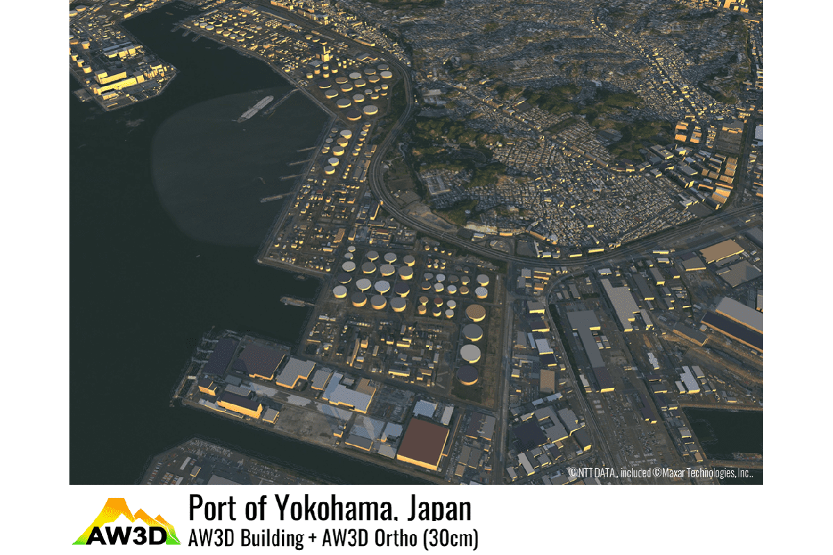
The image above shows the Port of Yokohama superimposed on AW3D Building 3D data with 30 cm resolution AW3D Ortho Imagery.
Negishi Bay is on the left, and the industrial area from Honmoku to Isogo is look in this image.
The Port of Yokohama opened on June 2, 1859, under the Treaty of Amity and Commerce Between the United States and the Empire of Japan, and initially prospered as the center of the raw silk trade.
Later, Negishi Bay was reclamation-works in 1957 as part of the Comprehensive Basic Plan for the Construction of an International Port City, and the port major developed as an industrial port in the Keihin Industrial Zone.
Numerous energy, heavy industry, automobile, and other plants stand nearby.
Most import/export cargo is mainstream for maritime transport through ports because Japan is around by the sea.
According to the Ministry of Land, Infrastructure, Transport, and Tourism, Kanto Regional Development Bureau, the percentage are huge, at 99.6% on a weight basis (73.9% on a value basis).
The Port of Yokohama is a key logistics hub in Japan, boasting the second-largest container handling volume in the country after the Port of Tokyo.
While economic activity has resumed and logistics volume has increased, it continues to be hard to secure personnel and containers to work at the port during the COVID-19 pandemic.
Although it's been on the mend lately, many of you may have heard about the international logistics delays during the Christmas season in 2021.
At first glance, such news may seem unrelated to remote sensing, but satellite data has been spreading usage in the logistics industry in recent years.
Satellite data is capable of utilize to monitor ships and observe ports to infer logistics conditions.
| Location | Port of Yokohama (Japan) |
|---|---|
| Satellite / Satellite imaging product | AW3D Building data + AW3D Ortho Imagery (30cm) |
- Related Links