AW3D Building 3D data
Global high-resolution 3D map building
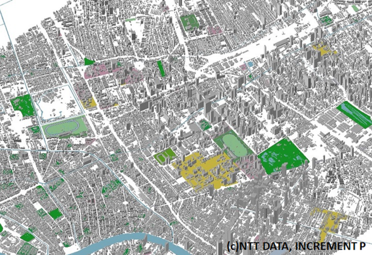
3D map with the shape and height of building by using the latest images. Building dataset includes shape and building footprint. These dataset is for many simulations such as telecommunication, asset planning, analysis of the view.
-
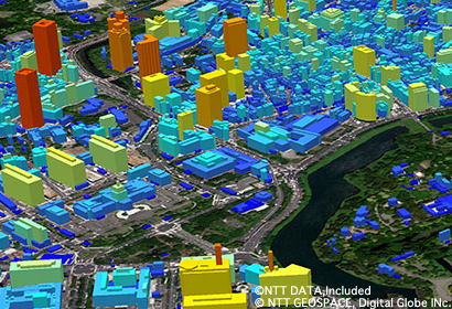
Building 3D data(Tokyo) -
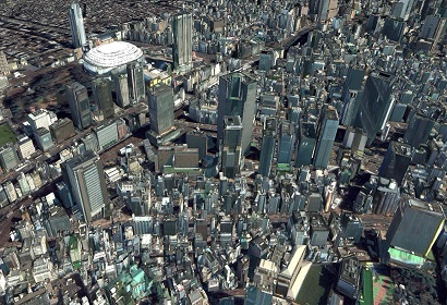
Building 3D data with texture(Tokyo)
Utilizing automatic building extraction from satellite imagery with machine leaning
Since machine learning enables to extract massive amount of building 3D data from satellite imagery within a short period of time , we can provide build data from anywhere in the world.
Data product specialized for various simulations
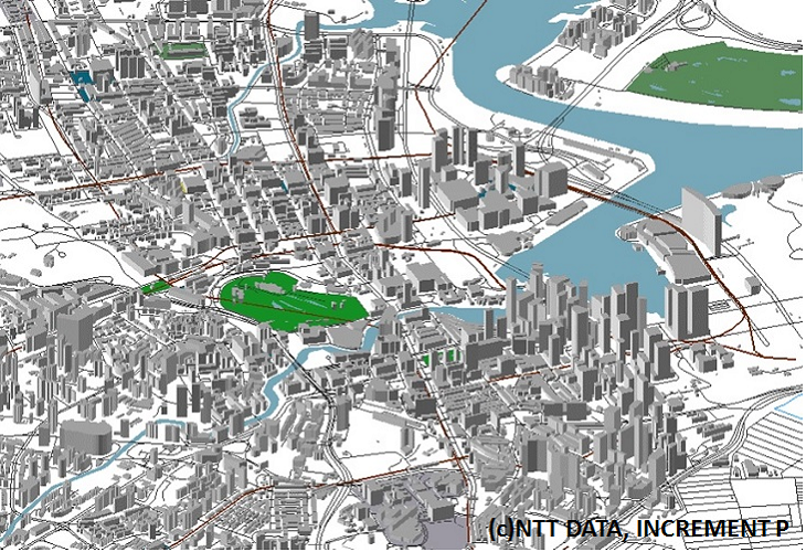
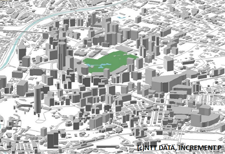
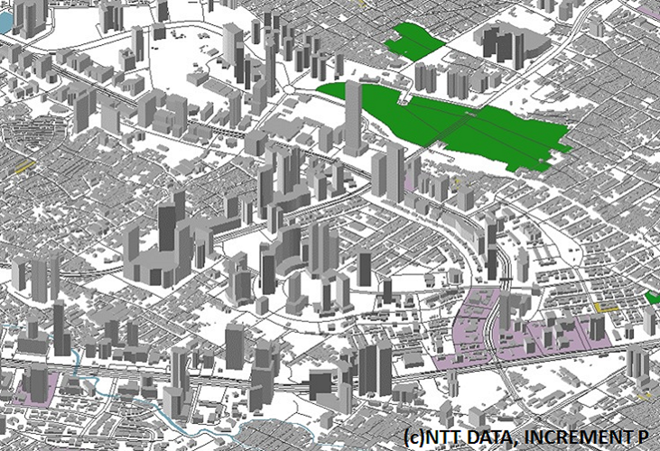
Data product that is suited for radio propagation analysis, LOS (Line of Sight) analysis, and other simulations. This vector data is compatible with various GIS engines.
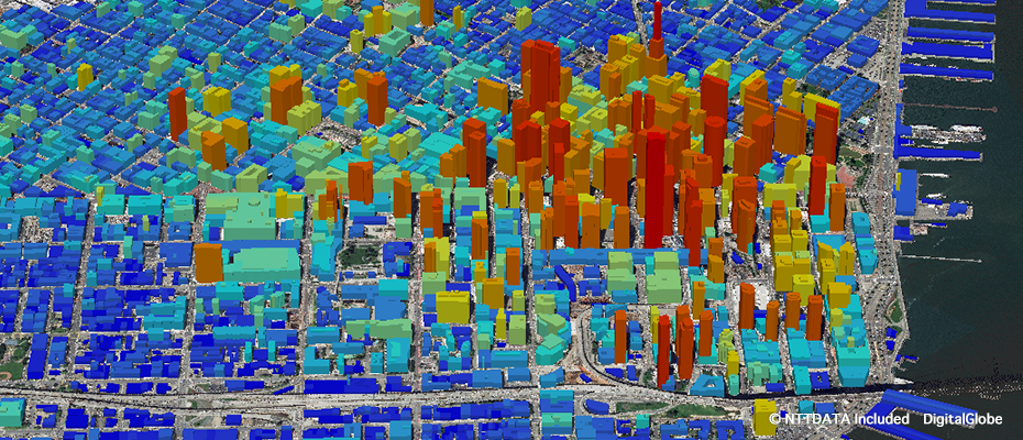
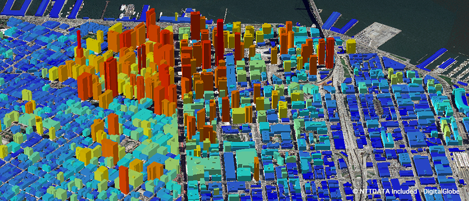
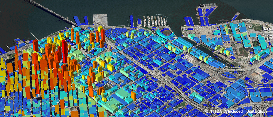
3D data(San Francisco SoMa) You can check the shape of building from every angle of 360 degrees.
3D data(ASEAN) You can check the shape of building from every angle of 360 degrees.
Details
| Product Type | 3D Vector (Digital Height Data, Polygon Type) |
|---|---|
| Satellite | Maxar(formerly DigitalGlobe) - WorldView |
| Area | On demand |
| Horizontal Accuracy | 2 m RMSE |
| Vertical Accuracy | 1-2m RMSE |
| Minimum Order Size | 25km2 |
| Delivery Formats | Shape format (.shp), Tab format (.TAB) |
| Delivery Method | Online or Media (DVD) |
- Related Links