Utilization field of the Earth observation satellites
The Earth observation satellites obtain data from around the globe, so it is not necessary to go there to confirm the condition of that location like in [Earth Viewer]. Also, the observation area is much wider than the area possible by an airplane, and confirmation can be performed widely at once . Because all images are taken same local sun time, the change of that place such as land usage , sea surface temperature etc. is confirmed by comparing several images taken past and present. Please refer to [Terrestrial Phenomena] and [Activity of The Sensors].
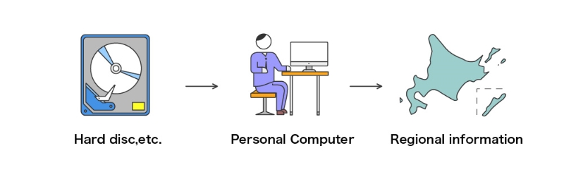
The Earth observation satellite data are stored in CD-ROMs, etc. in digital form . Users can look at these data and add words and colors on the images by using image -processing software on personal computers. Users can recognize the current variation from the past of a certain place by using satellite data analysis software. These data can also be printed out as images.