May 20262026.05.01
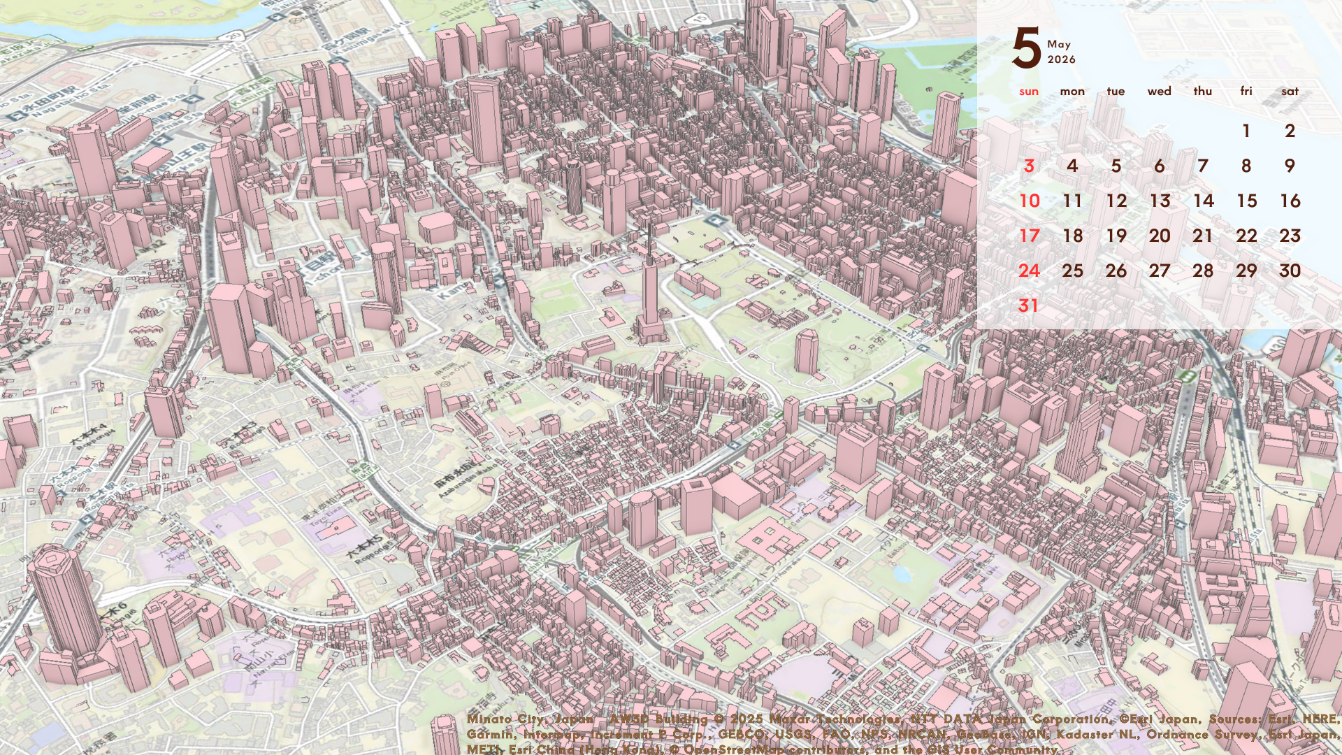
This image shows the area around Minato Ward, Tokyo, with 3D building data overlaid on OpenStreetMap. By representing building information obtained from satellites as vector data, the area can be viewed from a new perspective. The dense concentration of buildings, including high-rise towers along major roads, reflects the central character of the city.
| Location | Minato City (Japan) |
|---|---|
| Satellite / Service | AW3D |