Use case
Remote sensing is characterized by the ability to repeatedly conduct observations over a wide range and from a distance. To harness this characteristic, remote sensing has mainly been used in the field of geosciences, such as climate change.
In recent years, fields of application for remote sensing have been expanding rapidly alongside technological advancements in the space sector. This technology can serve society in familiar ways including the maintenance and management of infrastructure, cartography, and smart agriculture.
-
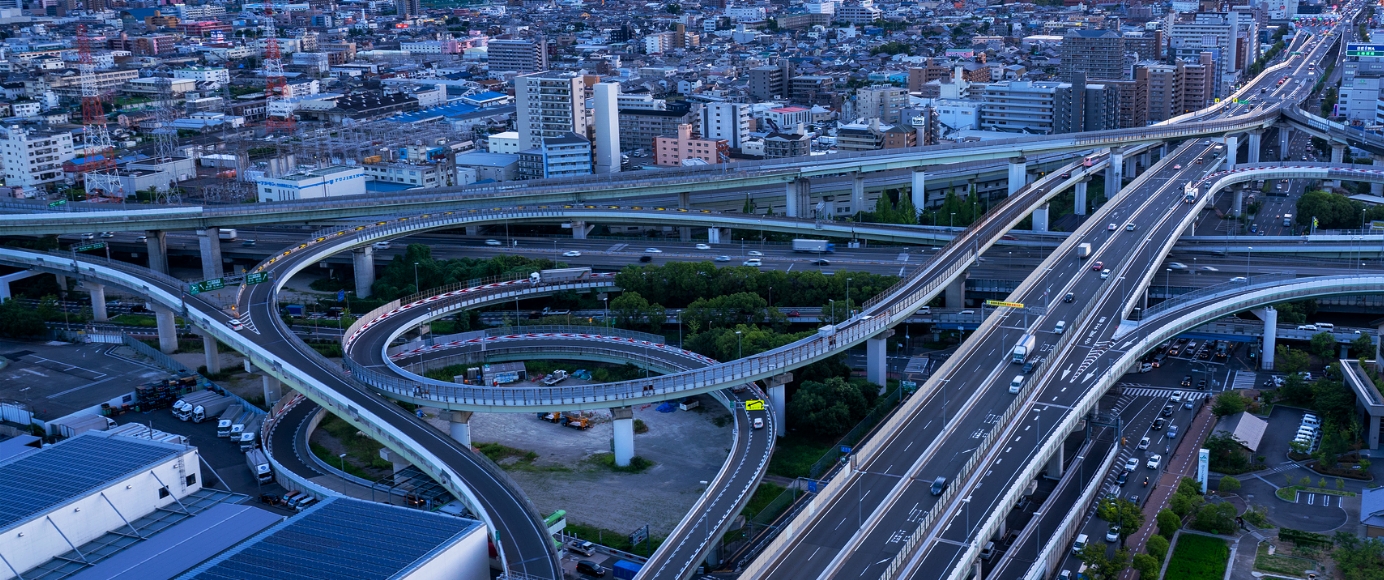
Infrastructure
It contributes to strengthening and enhancing the efficiency of maintenance and management systems for social infrastructure, such as roads and railways.
 Infrastructure
 -
Map
Satellite information is increasingly being used as a new form of map information across a wide range of fields, including infrastructure, agriculture, and oceans.
 Map
Map -
Agriculture
To enhance efficiency and productivity, various initiatives are underway to apply satellite data to smart agriculture.
 Agriculture
 -
Forest
The scope of use for Forest monitoring through remote sensing in solving global issues such as climate change is constantly expanding.
 Forest
 -
Ocean
Information obtained through satellites, such as the temperature and surface level of vast oceans, is used for several purposes, such as improving the efficiency of fishery activities and addressing environmental issues.
 Ocean
Ocean -
Weather
Observation data obtained through meteorological satellites has a wide range of applications, from climate change on a global scale, to weather forecasts in daily life.
 Weather
 -
Disaster
There is no need to be physically present at the site even in the case of wide-area disasters such as floods, slope failures, and forest fires. This helps to efficiently capture information about the situation.
 Disaster
 -
SDGs
This section features specific initiatives where remote sensing technology contributes to the Sustainable Development Goals. Satellite images are also used in original designs, VR content, tourism, and many other areas.
 SDGs
SDGs