AW3D team gave a lecture on Agricultural Technologies as Solution of Climate Change at JICA
2023.08.25
Information
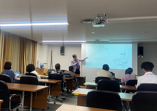
Kicking off with a explanation of "The Importance Role of Disaster Prevention in Agriculture," several use cases were presented, showcasing the practical applications of Digital Elevation Model (DEM) generated from cutting-edge satellite imagery. In particular, "AW3D Enhanced," which represents up to 0.5m resolution, captivated the trainees and lead to many questions and discussions after the lecture.
For any inquiries or if you would like to request a sample of AW3D data, please do not hesitate to get in touch with us.
- Related Links