
News
お知らせ
-
 2026.06.08更新情報 - 2025年度環境報告書
 -
 2026.06.05学生向けミニ財団セミナー(2026年6月開催分) 参加者募集中!
 -
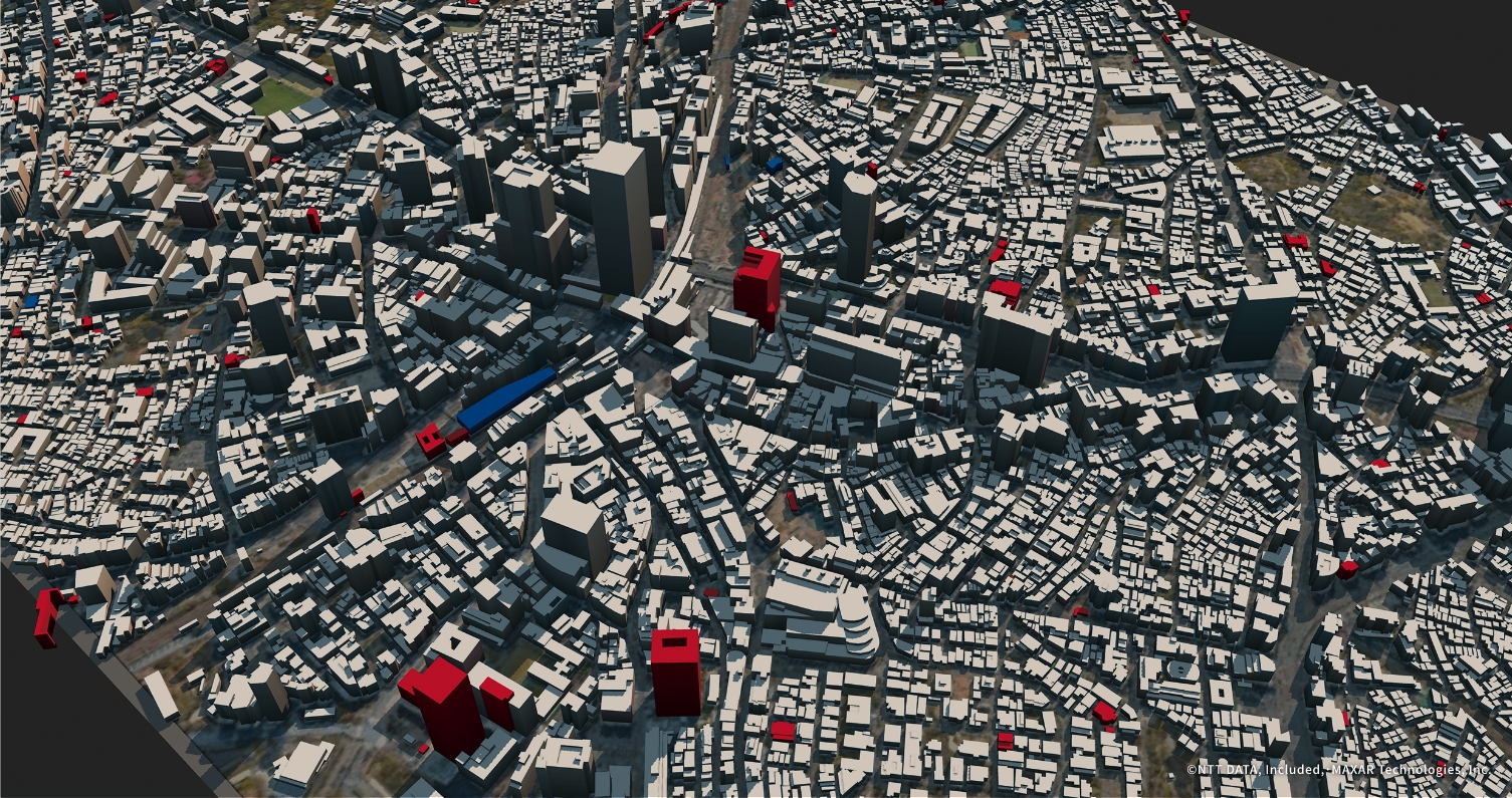
 2026.06.04北海道経済産業局主催「衛星データビジネス事業化セミナー」への登壇
 -
 2026.06.03更新情報 - Earth Gallery 測量の日
 -
 2026.06.01更新情報 - Earth Gallery June 2026
 -
 2026.05.25更新情報 - コラム Sentinelシリーズに迫る②~Sentinel-4, 5, 6について~
 -
 2026.05.195月23日「UNISEC SPACE Job Fair」へ出展します!
 -
 2026.05.01更新情報 - Earth Gallery May 2026
 -
 2026.04.22更新情報 - Earth Gallery EARTH DAY
 -
 2026.04.092025年度 地球観測データ利用ビジネスコミュニティ(BizEarth)定期講演会


Search
検索
RESTECの事業やリモートセンシングについて、知りたい情報が検索できます。
Column
コラム
リモートセンシングを中心に、
宇宙やITに関連した情報を発信していきます。
-
 2026年5月25日Sentinelシリーズに迫る②~Sentinel-4, 5, 6について~
 -
 2026年3月30日Sentinelシリーズに迫る①~その概要とSentinel-1, 2, 3について~
 -
 2026年3月16日山口県全体で取り組むDX – 衛星データを活用した農地調査システムにより現地確認の効率化を目指す
 -
 2026年3月05日付随する事務負担を軽減 AIと衛星画像を利用した現地確認業務の効率化
 -
 2026年2月27日農地現地調査にかかる作業時間が8割減-DXによる行政の事務効率化
 -
 2026年1月30日海洋・海事分野のリモートセンシングデータ利活用に関する活動紹介 - 広島大学と呉市のとりくみ
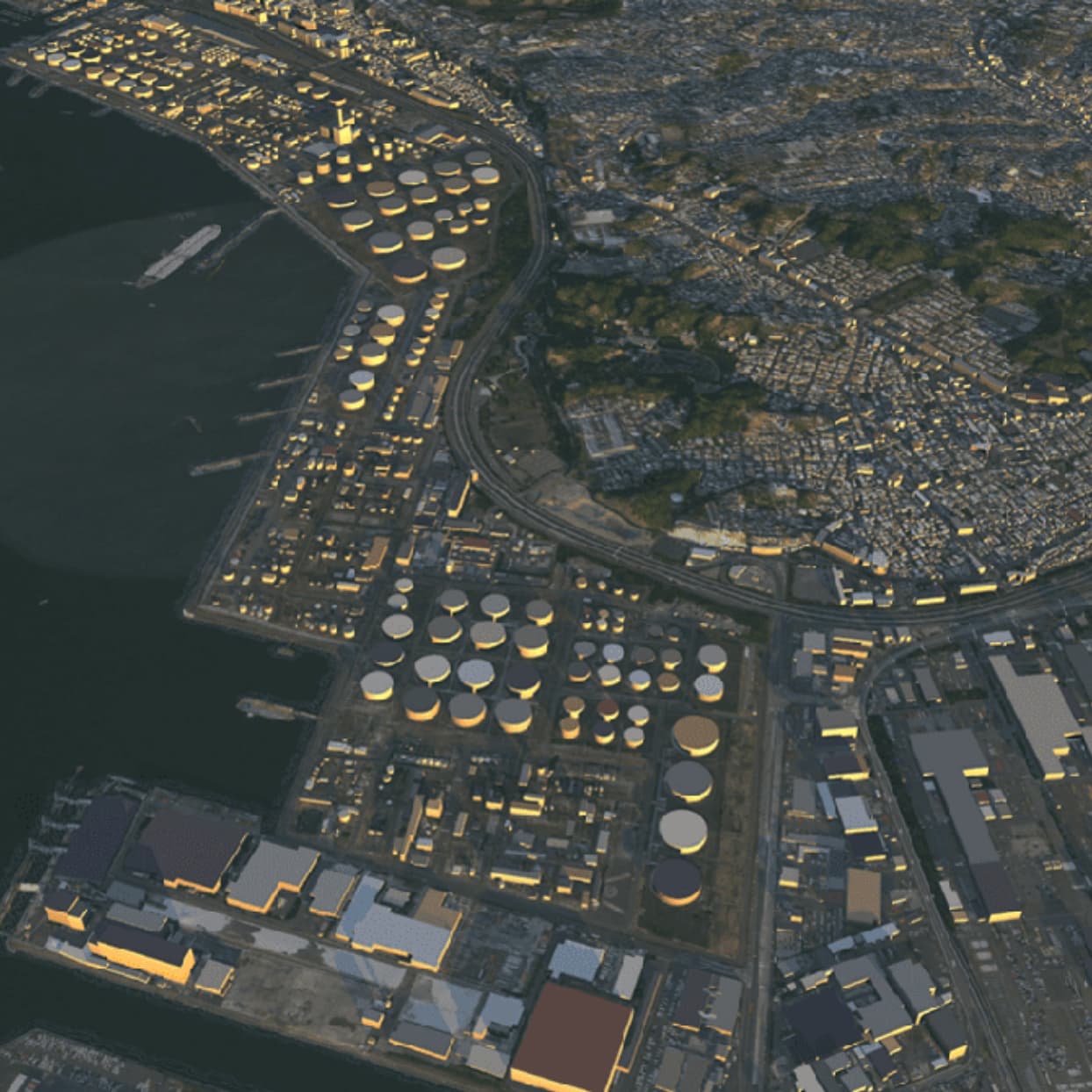
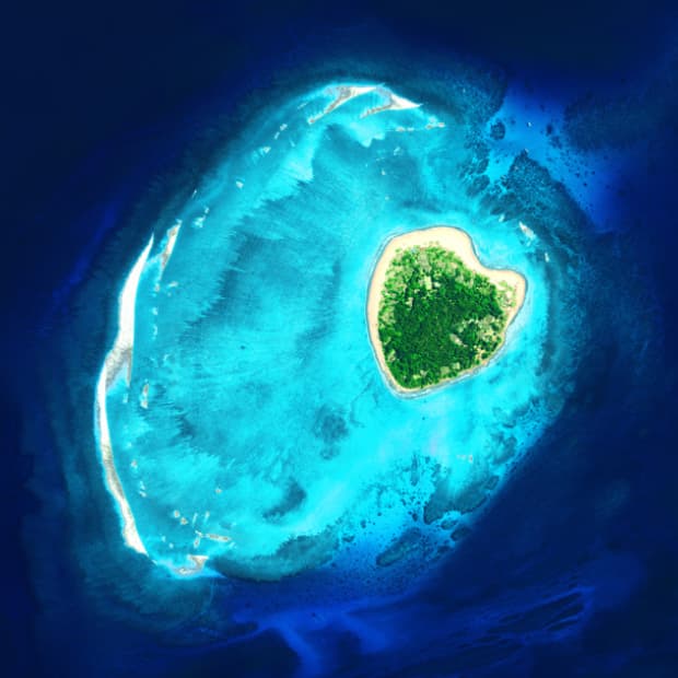
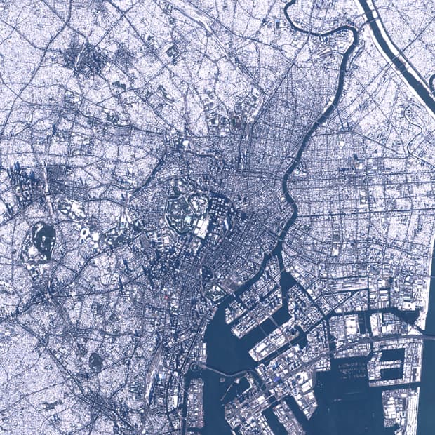
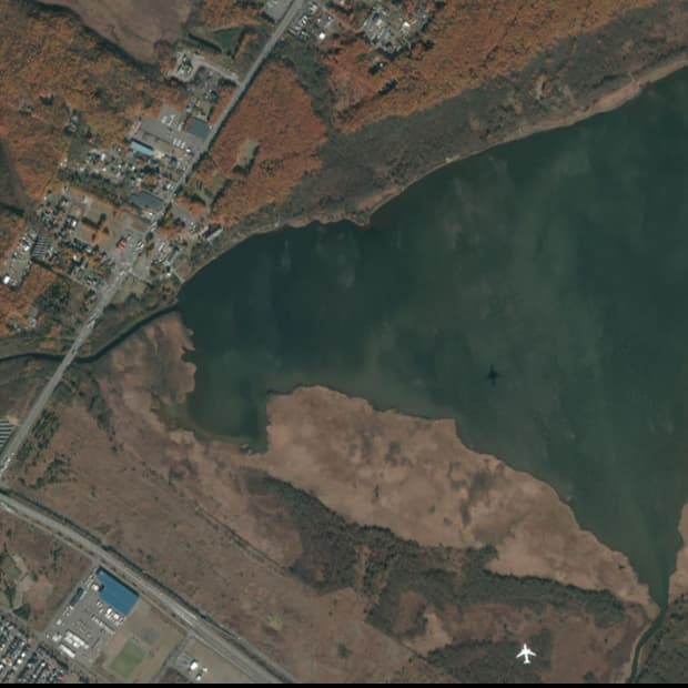
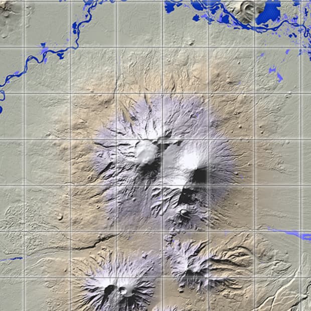
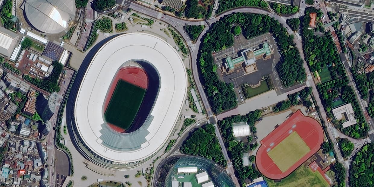
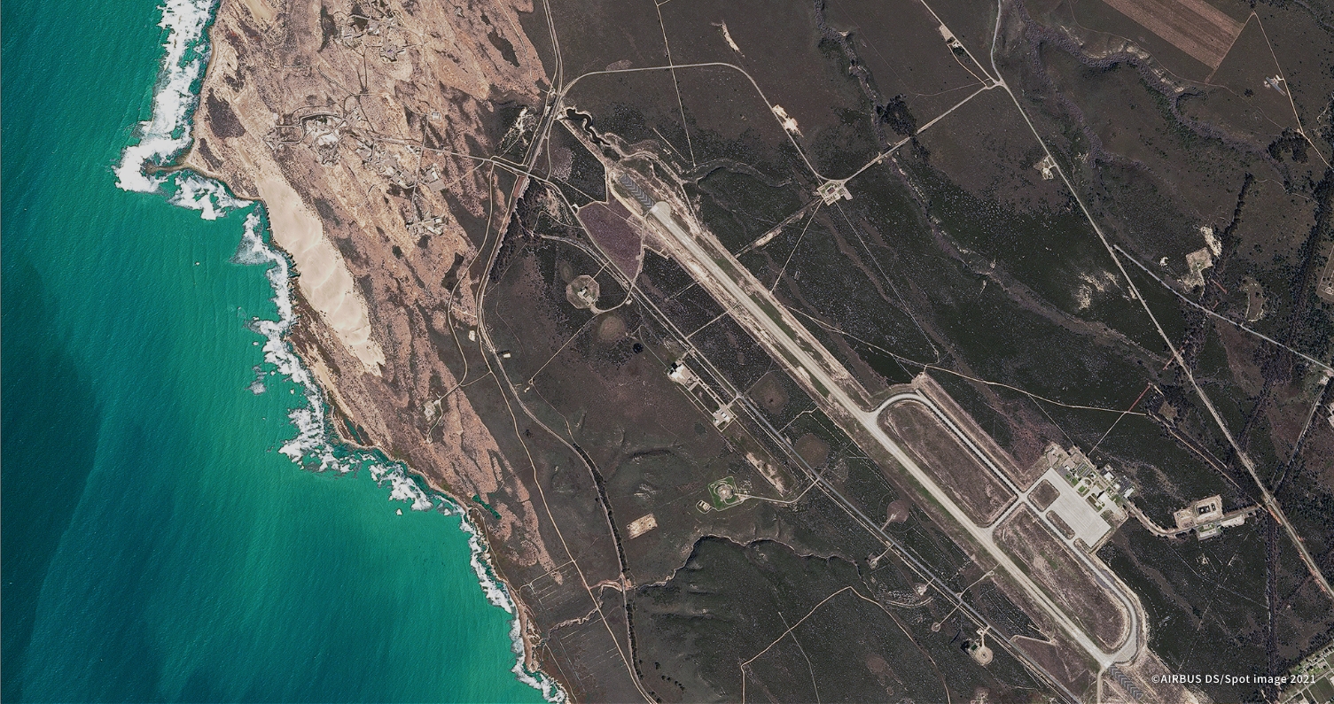
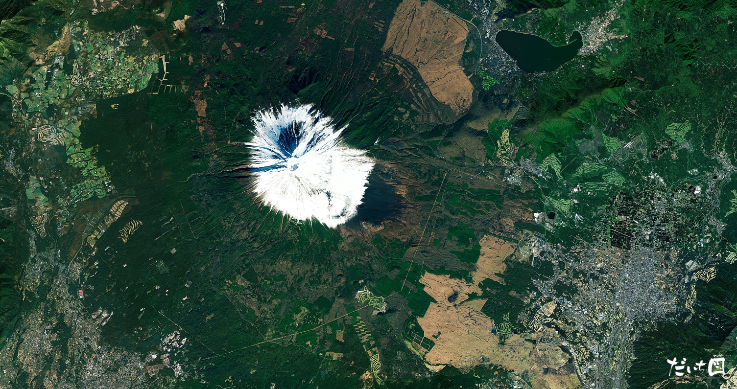
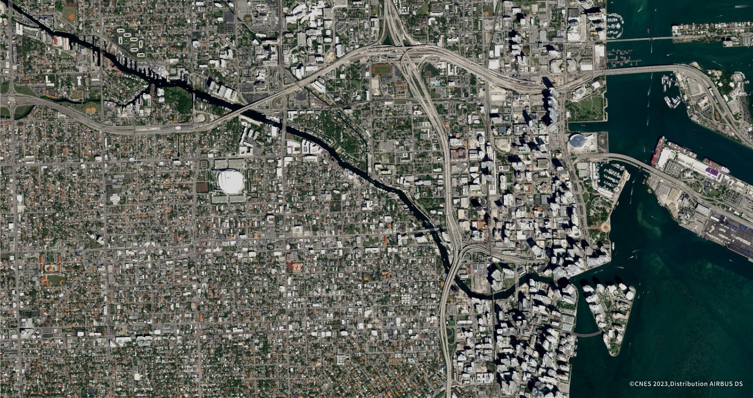
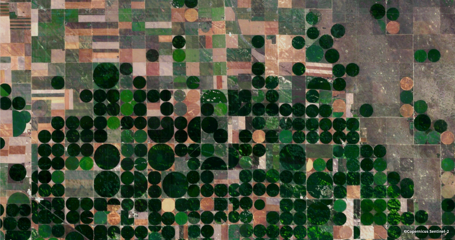
Earth Gallery
宇宙からみえる様々な地球の表情を
お楽しみください。